Effective December 15, 2017 AEP placed CNT#170007 on the 9,299 ha encompassing the subject trails as per the attached CNT map. We have something to celebrate as the level of protection for these trails has been improved.
GBCTA would like to recognize and thank AEP staff, Minister Shannon Phillips and MLA Cam Westhead.
CNT#170007
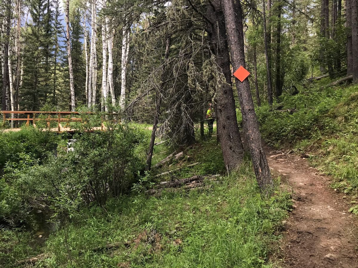
Due to the popularity of the trail network on the public land at Greater West Bragg Creek and Moose Mountain, Alberta Environment and Parks (AEP) has placed a Consultative Notation over this area (CNT 170007- see attached map). This will ensure the trail network is safeguarded from other proposed land uses. Below is a brief description of the Consultative Notation that AEP, Integrated Resource Management Branch, has recently placed on the West Bragg Creek and Moose Mountain trail networks.
What is a CNT?
Notations are instruments used through the Public Lands Act to identify a management intention regarding specific sections of public land by government departments or legal entities. Notations indicate that the holder of the notation wants to be consulted before any commitment or disposition is placed on the land.
CNT Overview:
- A CNT does not impose any land use restriction but indicates that an agency (AEP’s Integrated Resource Management Branch) wishes to be consulted prior to any approval of proposed land use activities in and around the trail network.
- All land use applications within the CNT 170007 boundary must be referred to AEP’s Integrated Resource Management Branch. Special conditions may be requested with respect to the proposed land use activity.
The requirements of CNT 170007 will allow AEP’s Integrated Resource Management Branch to work with the relevant agencies to mitigate potential impact to the West Bragg Creek and Moose Mountain trail networks as a result of disposition applications and other potential development within the area.